

STRATAG
Stratospheric technologies for agriculture
Scheda del progetto

ITHACA S.r.l.

Università di Torino
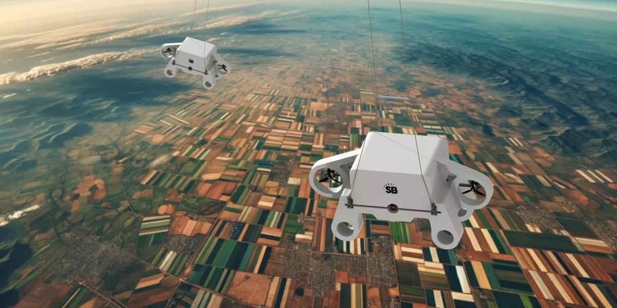
STRATOBOTIC
End User
Consorzio irriguo del Canale Brobbio Pesio


STRATAG aims to develop services accessible through a webGIS platform for precision agriculture that assist users in making informed decisions regarding crop management. Users will have access to general information on the health status of vegetation based on satellite data, as well as more detailed information on controlled flooding dynamics and irrigation of fields, based on data collected from sensors placed on innovative stratospheric probes that will be tested for the first time in this context.
Contacts:
Lorenza Bovio
lorenza.bovio@ithaca.earth
The challenge lies in testing the reliability and applicability of data obtained from the utilisation of new technologies for sensor transport, such as stratospheric probes, in a real-world context like precision agriculture. In addition to the analysis of optical data collected through high-resolution multispectral cameras, studies will be conducted on irrigation flows based on data gathered from thermal sensors. This aspect represents one of the biggest challenges in Remote Sensing applications, given the nominal resolution of data acquired from satellites currently in orbit.
The project is particularly innovative because it does not only focus on experimenting with new technologies for the application and digitalisation of precision agriculture, but also plans to integrate data from various remote sensing technologies. This approach is promising as it aims to complement current technologies in a synergistic manner and enhance existing systems.
The project aims to generate significant impacts at both scientific and technological levels, as well as on the environment. Central to its purpose is the implementation of a monitoring system based on the integration of satellite data and data from stratospheric probes, designed to provide useful information for guiding operational decisions. This approach, situated within the context of precision agriculture, could play a key role in optimising agricultural practices on a large scale, opening up innovative prospects for the sector.