

MOUNTAINEER
Mountain Observation Using New Technologies for Earth's Environmental Resilience
Scheda del progetto


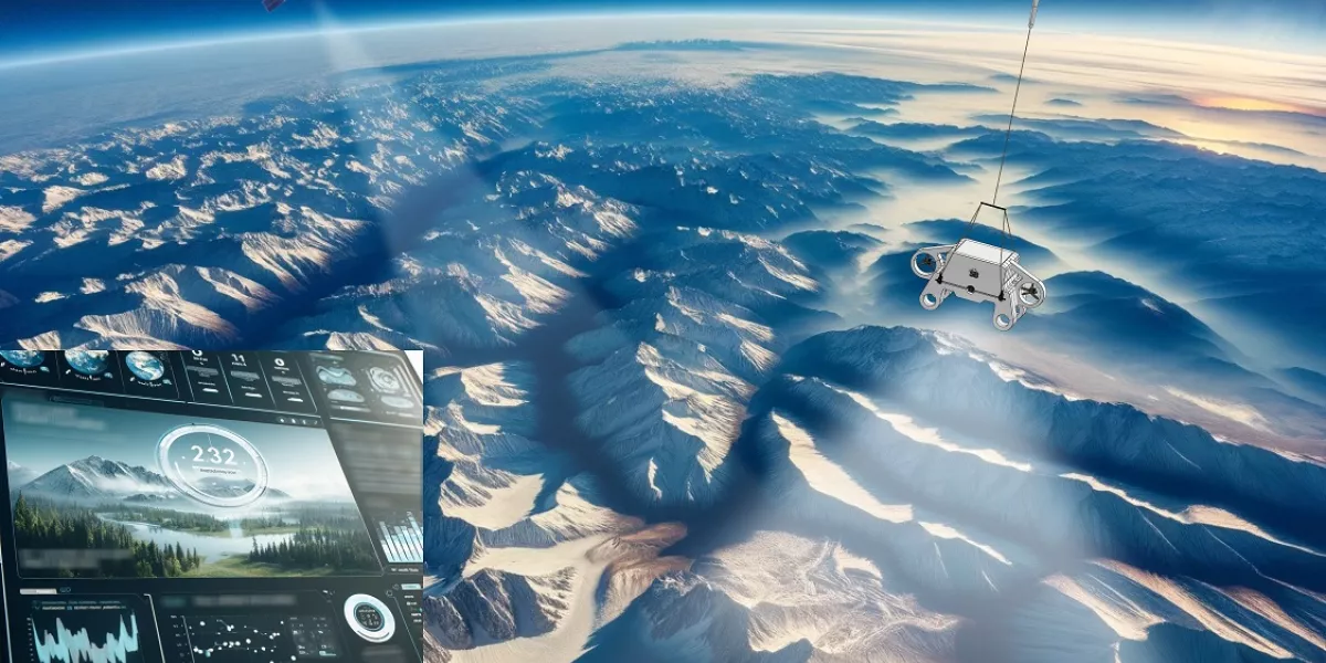
MOUNTAINEER is an innovative platform to support the digital and sustainable transition of mountains through a new model for managing their water, forestry and agricultural resources and for risk mitigation. The platform will allow energy industries and institutions to evaluate and plan the availability of water resources on a regional basis, starting from the monitoring of snowfall. At the same time, the platform will allow small businesses and agricultural owners to receive this information and forecasts and enrich them with observations and analyzes relating to their specific location. The platform will therefore serve the dual role of data analysis and dissemination. To enrich the information platform, specific acquisitions from stratospheric aerial platforms will be provided which will complement, in some cases replacing, satellite ones.
Contact:
Victor Miherea
victor.miherea@stratobotic.com
+393489225275
Identify artificial intelligence models that allow measuring vegetation height and quantifying surface carbon stocks in temperate and tropical forests and woodlands; increase the spatial resolution of optical images acquired by satellites to verify the correct perimeter of the forest areas on which to estimate the amount of seized/sequestrable CO2, in order to monitor and make more accurate forecasts in the medium and long term.
Propose a solution through the combined use of artificial intelligence and satellite data to generate datasets not currently available. Added to these unique characteristics are the functional advantages resulting from greater precision and timeliness in the information provided by stratospheric platforms, facilitating better planning and management of resources. In this, the project will be able to contribute to innovation in the local aerospace sector, providing new opportunities for the application of satellite data and AI technologies.
The project has positive effects on a scientific level by providing an integrated and updated vision of the state of mountain forests useful for identifying and monitoring ongoing changes. From an economic/technological point of view, the potential is to improve the efficiency and effectiveness of forest management, resulting in time and cost savings and the creation of new income opportunities for local communities and forestry companies. Finally, the project also has positive effects on a social/environmental level by making available tools that improve the management practices of forestry assets, water resources, risk management, up to the possibility of exchanging carbon credits in voluntary compensation.